
An official, open source World map for Blender users to find each other safely
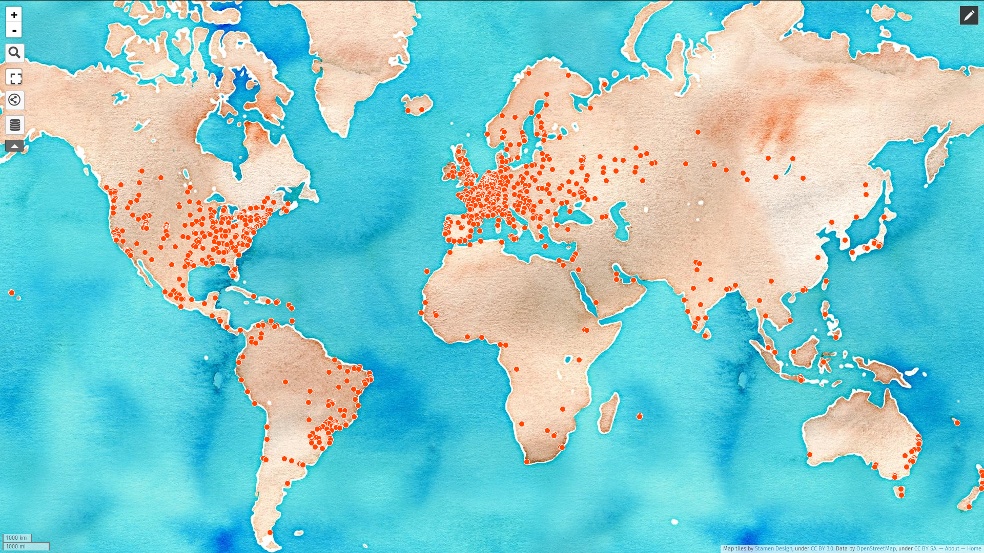
There are already some maps such as the Blender Network map or this unofficial Google map but I'm thinking of a quite different and more sophisticated approach :
- First, it would use open source and collaborative software. OpenStreetMap would be used as the base map and either OpenLayers or Mapbox (or something else) would be used as the tool to customize it.
-
Second, its main purpose would be to help blender users meet IRL (or AFK if you prefer) while respecting their privacy, so that people would be less afraid to put themselves in such a public map. So here are the solutions I have in mind:
- The map should prevent you from showing a too precise location. For example you could enter your address and the map would generate a 2 or 5 km circle within which you would be (of course you wouldn't be in the center!). The user should be able to change the radius of that circle.
- The map should include categories to filter different kinds of Blender users. Those categories could be: Hobbyist, Student, Aspiring professional, Professional and Teacher. That system should allow a user to be in multiple categories at the same time.
- When creating your own marker, you should include some contact info and/or website link and/or social media link. These would appear upon clicking on a user's circle in the map.
- The map should only keep each entry for a limited time (one year or even 6 months), to prevent showing people who may have moved away. A notification system would email a user who's entry is about to be removed unless he reconfirms it.
- Third, if this map ends up being polished enough to become a nice, slick, automated, safe and easily maintainable tool, I'd hope for it to be made official by becoming a part of the blender.community website and use the blenderID system.
This is quite ambitious but for now I'd like to know what you think of the main points I made and hear your own ideas. Thanks!
6 Comments
A reminder to refresh every 6 months would be a good idea. Knowing that their data will be deleted after 6 months if they don't do anything may also make more people willing to participate.
@Sybren Stüvel: I edited the original post to include that as well as new ideas.
Good idea!
Please take into account that 'province' in The Netherlands describes a completely different area size than 'province' in Canada (the latter can be almost 1000x bigger than the former). Maybe an approach that is independent of political borders, like Leaflet + Markercluster , works better.
This plugin can make clusters and show a pie chart of the distribution of categories on every cluster:
github.com/spatialdev/q-cluster
I think it's pretty cool. Do you guys think it would be a good thing to have?
I wholehartedly agree with your plans for this map - particularly the first part. My first thought was that you should just include city/town, but some vilages are only a few houses, and some cities are too large that you'd want to be more precise.
@Mike Futcher: Thanks for your input. After some thoughts and looking at some community maps (don't remember which ones unfortunately), it seems the most appropriate and feasible way to show non precise locations is to use a radius within which your location is. I edited the original post to propose that instead of country divisions and cities (which actually seems almost impossible to achieve).